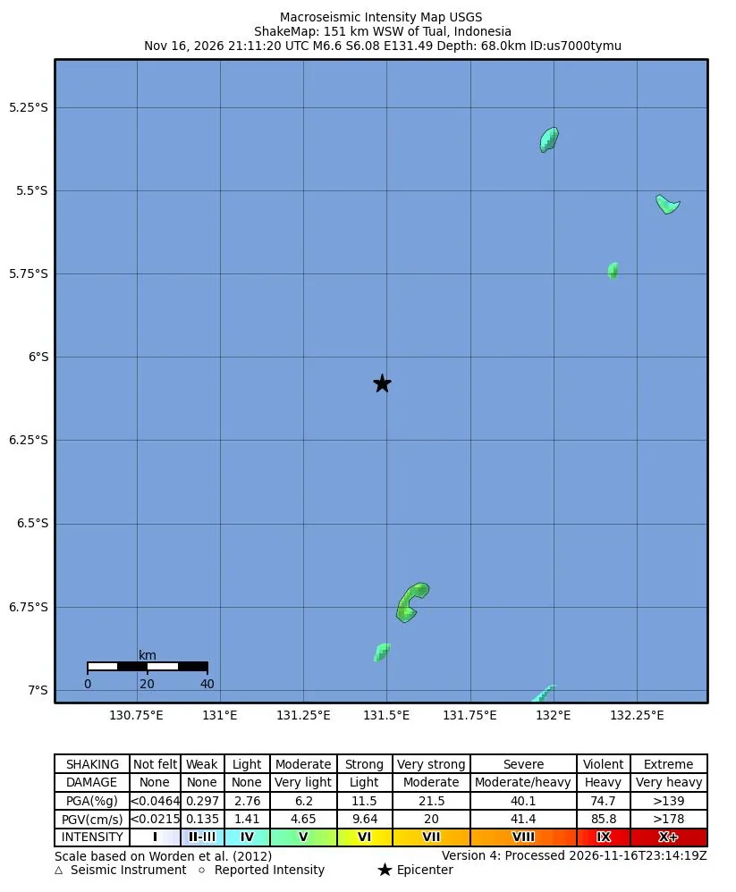
Current disasters in the United States and around the world, from official sources only: FEMA, the National Weather Service, GDACS and USGS. Each one has pictures of the area, related news videos and nearby public cameras where we can find them, the relief groups already working in disasters like it, partner churches nearby and how to help.
Updated every 15 minutes. As of 2026-11-17 10:32 UTC.
Illustration
What the labels mean
Local In your state (from the state you gave us when you signed up for alerts).
National Somewhere in the United States.
International Outside the United States.
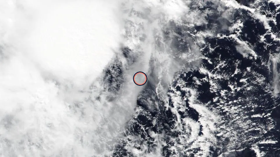
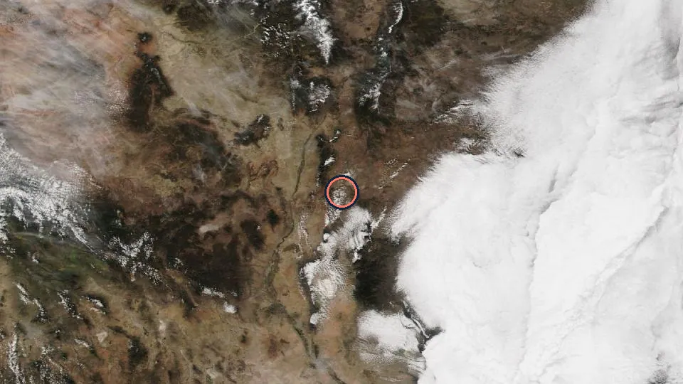
Areas on the map are drawn by the National Weather Service where it publishes an outline; other events show a circle around the reported position, and FEMA declarations sit at the centre of the state.
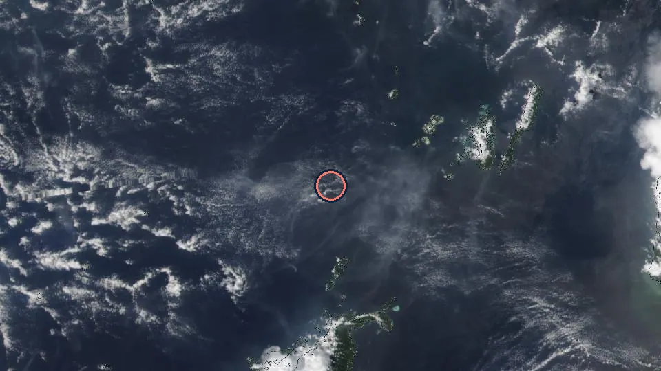
NASA Worldview / GIBS, VIIRS NOAA-20 true colour, 2026-11-16Source · Public domain (NASA imagery). Ring added by 508 Ministry.
International · GDACS
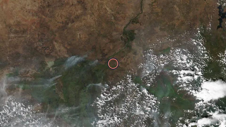
Drought in Burundi, Democratic Republic of Congo, Central African Republic and 10 more countries
Orange Drought in Burundi, Democratic Republic of Congo, Central African Republic, Cameroon, Eritrea, Ethiopia, Kenya, Rwanda, Sudan, South Sudan, Chad, Tanzania, Uganda from: 21 May 2026 to: 17 Nov 2026 .
Area
Burundi, Democratic Republic of Congo, Central African Republic, Cameroon, Eritrea, Ethiopia, Kenya, Rwanda, Sudan, South Sudan, Chad, Tanzania, Uganda
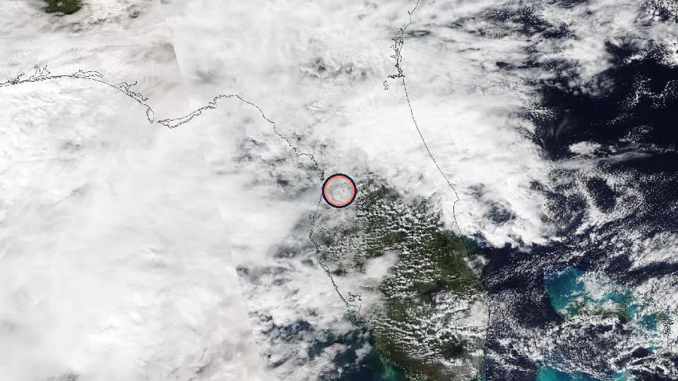
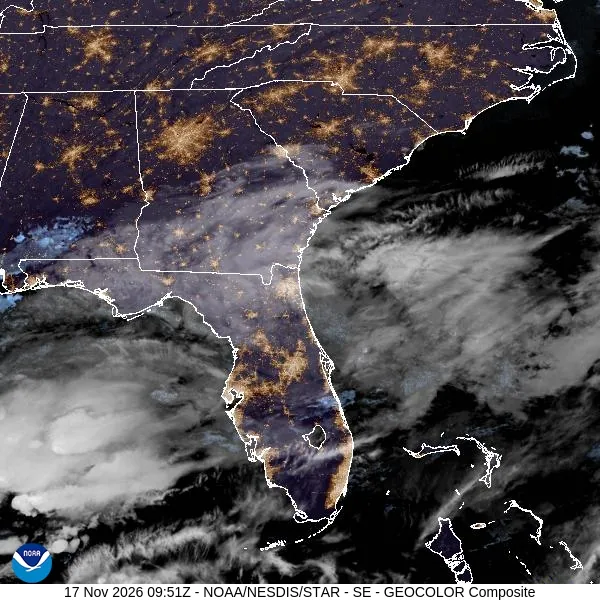
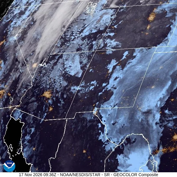
NASA Worldview / GIBS, VIIRS NOAA-20 true colour, 2026-11-16Source · Public domain (NASA imagery). Ring added by 508 Ministry.NOAA/NESDIS/STAR, GOES-19 (GOES East) GeoColor (CIRA), 2026-11-17 10:00 UTCSource · NOAA satellite imagery, free to use with credit
National · OpenFEMA
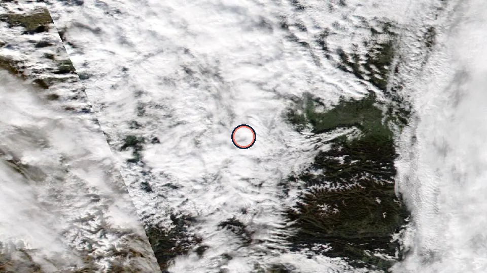
Florida: Hurricane Isaias
FEMA major disaster declaration 4955 (Hurricane) for 15 designated areas. Incident period from 2026-10-06 to 2026-10-12.
News videos
Plays from YouTube (privacy-enhanced mode) only after you press play. Videos belong to the channel shown.
Area
Florida: Bay (County), Calhoun (County), Escambia (County), Franklin (County), Gadsden (County), Gulf (County), Holmes (County), Jackson (County) and more
Time
Issued 2026-10-27 00:00 UTC
Source
OpenFEMA (Federal Emergency Management Agency). Map pin: centre of the state (FEMA does not publish coordinates).
Trusted relief groups working in disasters like this
NASA Worldview / GIBS, VIIRS NOAA-20 true colour, 2026-11-16Source · Public domain (NASA imagery). Ring added by 508 Ministry.NOAA/NESDIS/STAR, GOES-19 (GOES East) GeoColor (CIRA), 2026-11-17 10:00 UTCSource · NOAA satellite imagery, free to use with credit
National · OpenFEMA
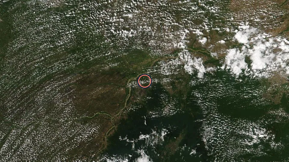
New Mexico: Severe Storms And Flooding
FEMA emergency declaration 3660 (Flood) for 9 designated areas. Incident period from 2026-10-22 to 2026-10-30.
Area
New Mexico: Cibola (County), Jicarilla Apache Indian Reservation, Laguna Pueblo (Indian Reservation), Pueblo of Acoma, Rio Arriba (County), San Ildefonso Pueblo (Indian Reservation), San Juan (County), Sandoval (County) and more
Time
Issued 2026-10-26 00:00 UTC
Source
OpenFEMA (Federal Emergency Management Agency). Map pin: centre of the state (FEMA does not publish coordinates).
Trusted relief groups working in disasters like this
Official public live streams from news networks and NASA, plus live volcano and weather-satellite pictures from USGS and NOAA. Each one is checked every 15 minutes; a stream that is not live right now is left out until it comes back. Recent news videos for each active disaster are listed with its alert above.
Checked 2026-11-17 10:32 UTC: only streams that were live and cameras that had a fresh picture at that time are listed. Streams play from YouTube (privacy-enhanced mode) only after you press play; cameras load from USGS or NOAA only after you press the button. Each stream belongs to the channel shown.